What the kit sees.
Real rows on the left, the kit's view on the right. Switch it between the camera, raw LiDAR, and LiDAR colored by the camera, then drag the divider to compare.
Simulating the scan…
moss counts and measures every tree in your blocks from the ATV or cart you already drive. Heights, calipers, gaps, growth, and the shape of the ground, on one map your whole team shares.
These came straight from growers. Each one has a clear answer in moss.
Counting a block by hand takes a crew for days, and the numbers are old the day you finish.
One drive counts every tree, row by row.
Nobody has time to drive every single row.
The kit sees up to 200 ft. Drive one row, skip the next three.
You do not know what will size up until you dig.
Height and caliper for every tree, sorted into your own size buckets.
A block underperforms, and you only find out at the end of the season.
Growth since the last scan shows the slow corner while there is still time.
Losses hide in the middle of long rows.
Gaps are flagged on the map, so you can replant or recount.
Inventory lives in spreadsheets nobody fully trusts.
One map the whole team shares, and it exports to your system.
Scroll to drive the kit down a nursery aisle. See the real rows next to what the kit captures, then watch one pass cover four rows.
Real rows on the left, the kit's view on the right. Switch it between the camera, raw LiDAR, and LiDAR colored by the camera, then drag the divider to compare.
Simulating the scan…
The kit sees up to 200 ft, so every pass captures the rows on both sides. Four passes cover this block instead of fifteen.
Sample block. Real range depends on canopy and conditions.
Most tools have to drive every aisle. The moss kit sees up to 200 ft, so one pass reads the rows on both sides. Press play and compare.
Sample block: 16 rows, 250 m long. Real coverage depends on canopy and conditions.
Switch the view and hover any tree. These are the same color scales moss software uses. Try Growth, then Elevation: the slow corner has a reason. Sample data.
Scan as often as your operation needs. Every scan adds to the same map, so each block builds its own story. Timing below is an example.
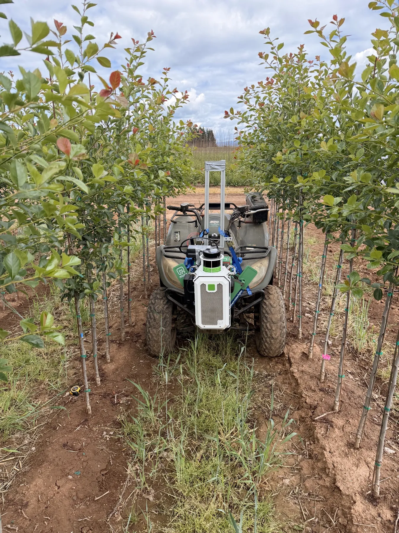
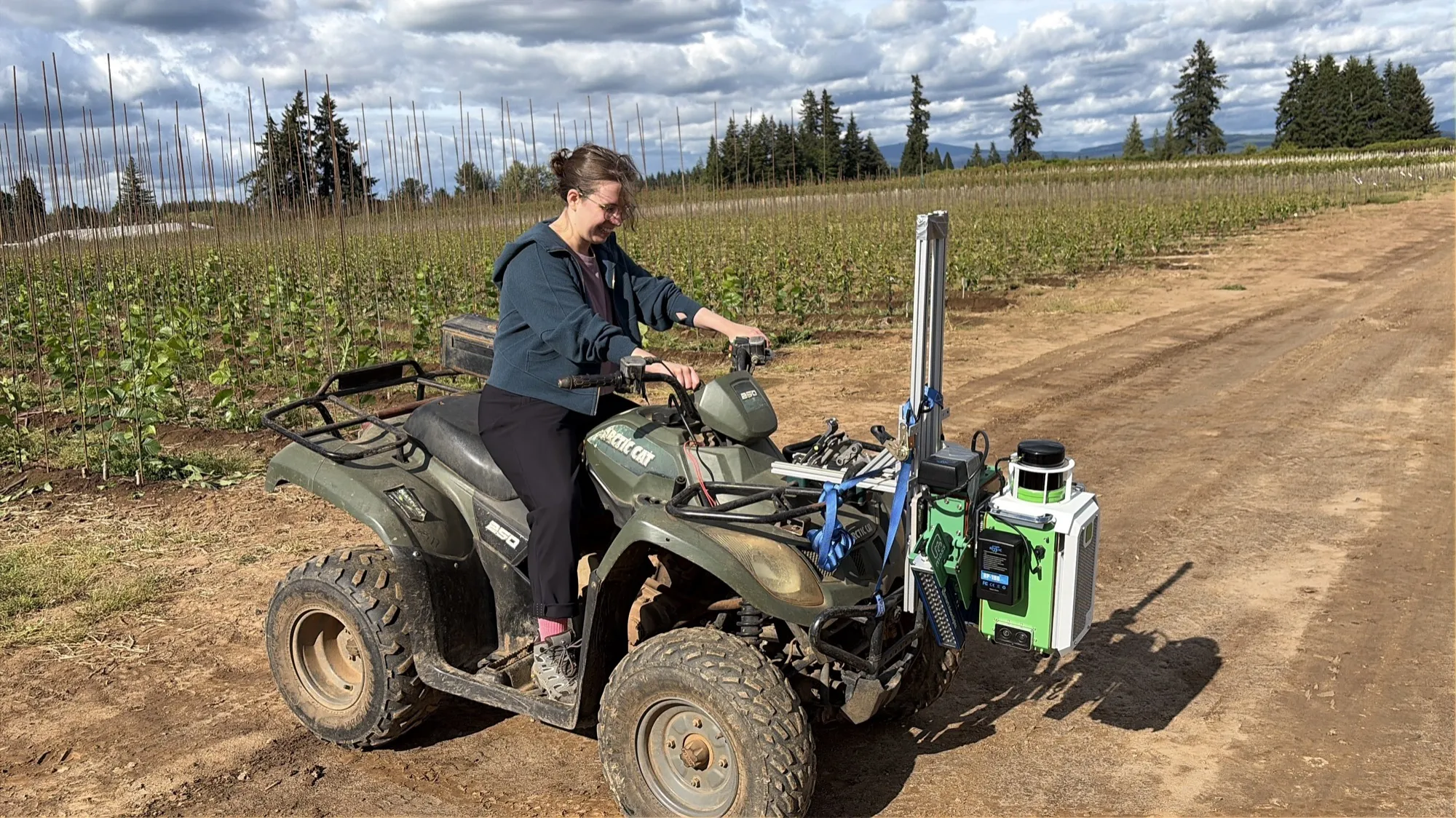
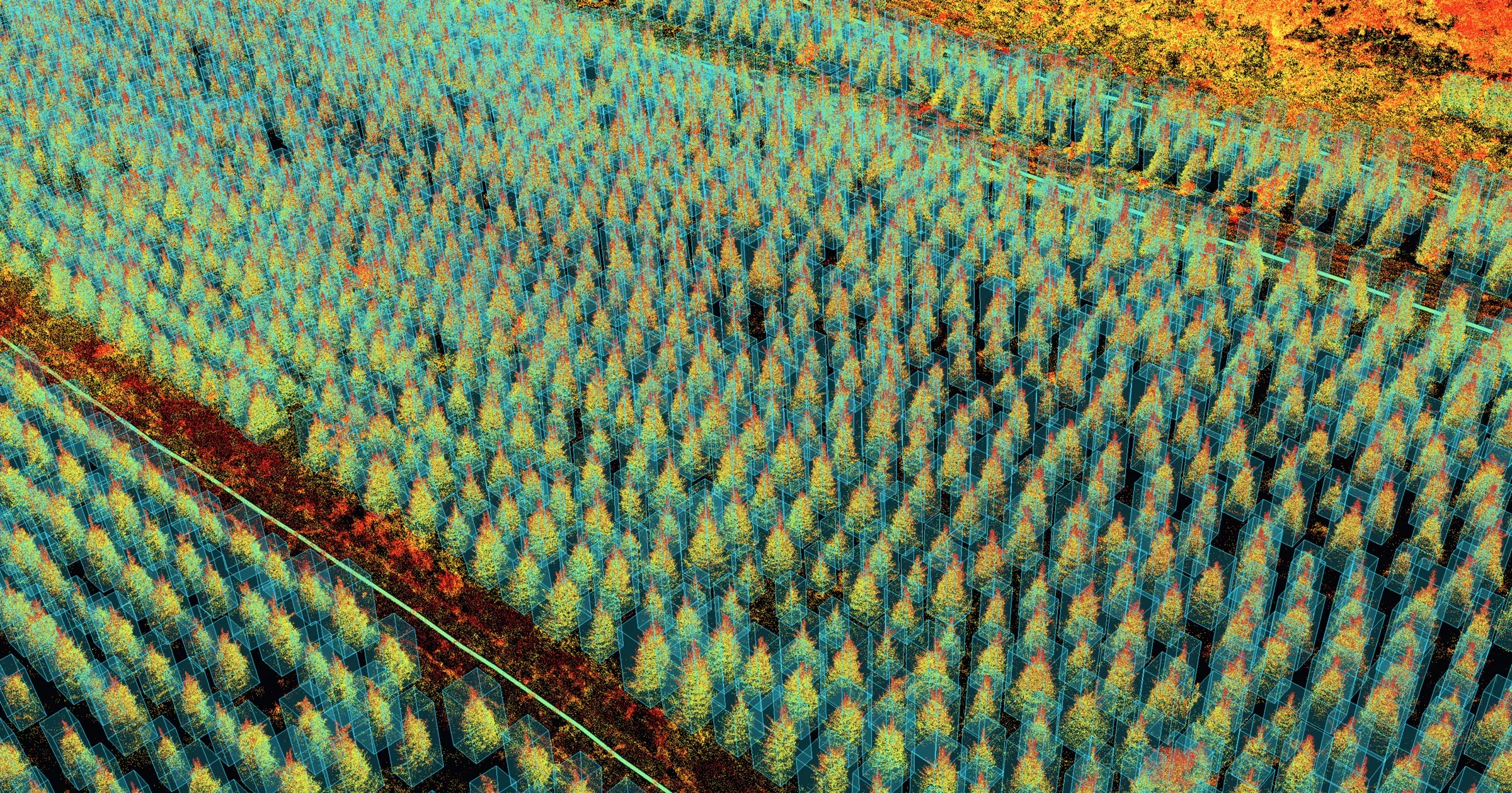
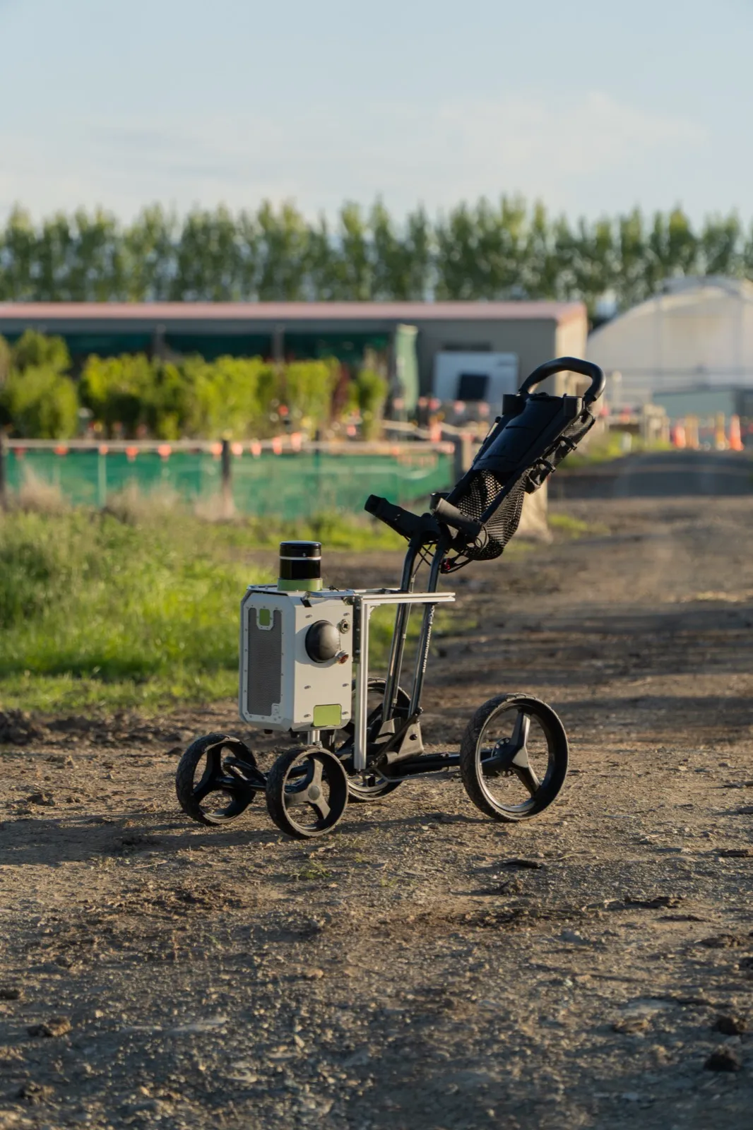
The same kit on an ATV or a push cart, and a point cloud of nursery rows captured by moss.
We bring the kit, scan one block with your crew, and walk you through the map together.
Request a pilot